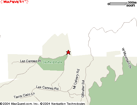
Rattlesnake Trailhead Map
Rattlesnake and Rattlesnake Connector trails and loops start from
this trailhead.
From Santa Barbara Mission,
drive 0.7 miles toward the mountains. At the first stop sign, turn right onto Foothill Road and drive 0.2 miles. Turn left onto Mission Canyon Road at the firs station, go 0.5 miles. Make a sharp uphill right turn onto Las Canoas Road. Drive 1.2 miles on this winding road and park on the right side shortly before the stone bridge. There is a large sign at the trailhead on the left side of the road. Total distance from Santa Barbara Mission is 2.6 miles.
|